Development of a map browsing tool
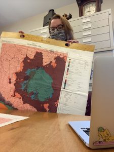
The BSA Library has a significant cartographic collection. Thanks to the invaluable support of outgoing IT Officer, Hallvard Indgjerd, we can now offer a digital tool that allows searching and browsing of around 1,000 British Admiralty and Greek Army maps from the 19th and 20th centuries. Library Research Assistant Emily Sherriff spent her last months at the BSA working on this project and writes about her experience:
One of the big projects I worked on as Library Research Assistant was the development of a map-browsing tool in collaboration with Hallvard Indgjerd, the IT Officer. My role in the creation of this tool has been to input information from the maps (such as publisher and date, and the coordinates of named locations) into spreadsheets which are then uploaded to EMu and subsequently the Digital Collections website.
Having only worked briefly with maps, it took some practice to get used to the plethora of information that can be found written on them as well as the difference in coordinates depending on the age of the map or the publishing location. However, after working with so many different maps, they became second nature to me. It was really interesting to see such a variety of maps from different time periods, in different languages, covering areas all over the Mediterranean, and even plans of archaeological sites.
Fortunately, I was able to finish the physical side of the project before I departed Athens in August. Using the information that I collected, Hallvard has uploaded them onto Digital Collections and we were able to work out the final links before the project is made accessible to all. In total around 1,000 maps from the BSA collection were included in the project and I am sure that this map-browsing tool will be of great help to researchers.
To search and browse the map collection go to https://digital.bsa.ac.uk/results.php?collection=Map+Collection

