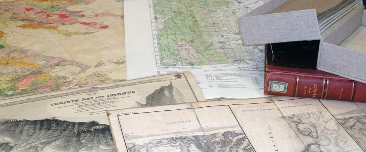
The British School at Athens Map Collection includes cartographic records of Greece from the 17th century to the present day. The older and rarer maps were collected by George Finlay. The collection is predominantly based on army reconnaissance starting with the Austrian Staff Maps from the 19th Century, followed by the British Army maps of Greece from the 1st and 2nd World Wars, culminating in the recent Greek Army maps. The collection includes the British Admiralty Charts form the 19th century and subject specific maps such as geology. There are more than 2,000 sheets which have been added to the union catalogue AMBROSIA.
Click here to search and browse the map collection
You can download a finding aid (pdf) for the map collection BSA Map Collection List (1) Final
